Travel Guide of Goleta in United States by Influencers and Travelers
Goleta is a city in southern Santa Barbara County, California, United States. It was incorporated as a city in 2002, after a long period as the largest unincorporated populated area in the county.
The Best Things to Do and Visit in Goleta
TRAVELERS TOP 10 :
- La Cumbre Peak
- Leadbetter Beach
- Stearns Wharf
- Santa Barbara Zoo
- Refugio State Beach
- Los Padres National Forest
- Carpinteria State Beach
- Santa Ynez Valley
- Santa Barbara
- University of California
1 - La Cumbre Peak
11 km away
La Cumbre Peak is a 3,997-foot peak in the Santa Ynez Mountains north of Santa Barbara, California and located within the Los Padres National Forest.
Learn more Book this experience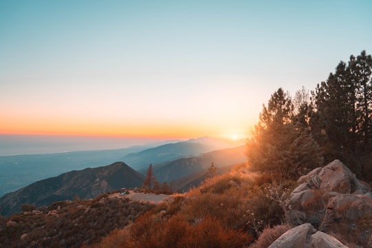

2 - Leadbetter Beach
12 km away
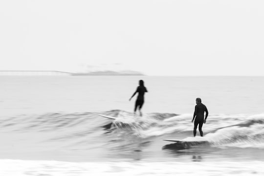
Leadbetter Beach is a popular beach in Santa Barbara, California, situated below Leadbetter Hill. It is easily accessible from the Santa Barbara City College and the marina, and has light surf which is acceptable for learners.
View on Google Maps Book this experience
3 - Stearns Wharf
12 km away
Stearns Wharf is a pier at the cross section of the end of State Street and Cabrillo, in the harbor in Santa Barbara, California, United States. When completed In 1872, it became the longest deep-water pier between Los Angeles and San Francisco. Named for its builder, local lumberman John P.
View on Google Maps Book this experience
4 - Santa Barbara Zoo
14 km away
The Santa Barbara Zoo is located on 30 acres near the ocean in Santa Barbara, California. It was built on the site of what was known as the Child Estate. The zoo has been ranked numerous times as one of the nation's best small zoos.
View on Google Maps Book this experience
5 - Refugio State Beach
24 km away
Refugio State Beach is a protected state beach park in California, United States, approximately 20 miles west of Santa Barbara. One of three state parks along the Gaviota Coast, it is 2.5 miles west of El Capitán State Beach. During the summer months, the Junior Life Guard program resides at the beach during the day. The Refugio oil spill occurred just north of the park in 2015 when a pipeline carrying crude oil ruptured. The spill went into a culvert that ran under US 101 and into the ocean. The spill spread over 7 miles of coastline, including Refugio and El Capitán state beaches. The parks were closed during the clean-up, including during the typically busy Memorial Day weekend. The pipeline which caused the disaster is no longer in service.
View on Google Maps Book this experience
6 - Los Padres National Forest
26 km away
Los Padres National Forest is a United States national forest in southern and central California. Administered by the United States Forest Service, Los Padres includes most of the mountainous land along the California coast from Ventura to Monterey, extending inland.
Learn more Book this experience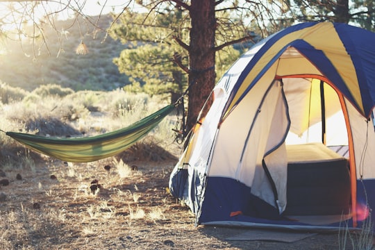
7 - Carpinteria State Beach
27 km away
Carpinteria State Beach is a protected beach in the state park system of California, in Santa Barbara County, Southern California.
View on Google Maps Book this experience
8 - Santa Ynez Valley
30 km away
The Santa Ynez Valley is located in Santa Barbara County, California, between the Santa Ynez Mountains to the south and the San Rafael Mountains to the north. The Santa Ynez River flows through the valley from east to west.
View on Google Maps Book this experience
9 - Santa Barbara
33 km away
Santa Barbara is a coastal city in Santa Barbara County, California, of which it is also the county seat. Situated on a south-facing section of coastline, the longest such section on the West Coast of the United States, the city lies between the steeply rising Santa Ynez Mountains and the Pacific Ocean.
Learn more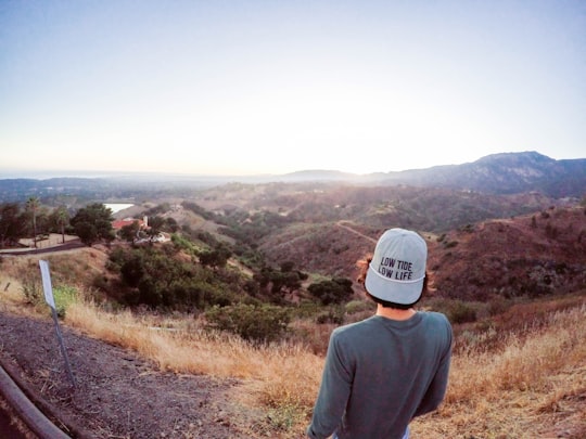
10 - University of California
40 km away
The University of Virginia is a public research university in Charlottesville, Virginia. It was founded in 1819 by United States Declaration of Independence author Thomas Jefferson.
Learn more Book this experience
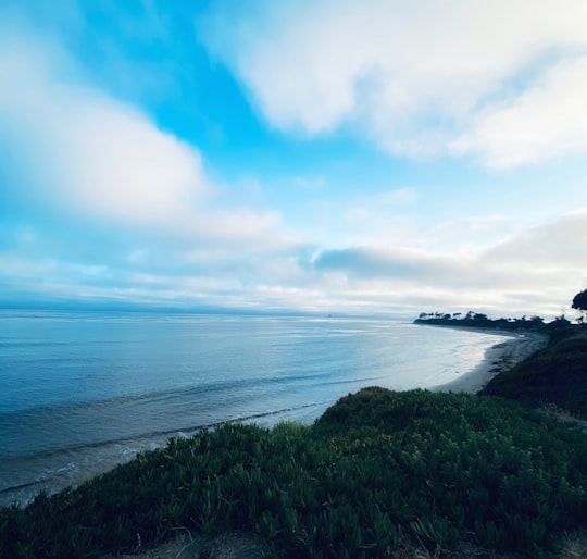
Disover the best Instagram Spots around Goleta here
Book Tours and Activities in Goleta
Discover the best tours and activities around Goleta, United States and book your travel experience today with our booking partners
Plan your trip in Goleta with AI 🤖 🗺
Roadtrips.ai is a AI powered trip planner that you can use to generate a customized trip itinerary for any destination in United States in just one clickJust write your activities preferences, budget and number of days travelling and our artificial intelligence will do the rest for you
👉 Use the AI Trip Planner
Where to Stay in Goleta
Discover the best hotels around Goleta, United States and book your stay today with our booking partner booking.com
More Travel spots to explore around Goleta
Click on the pictures to learn more about the places and to get directions
Discover more travel spots to explore around Goleta
🏖️ Beach spots 🌉 Bridge spots 🏕️ Camping spots ⛰️ Hill station spots 🌲 Nature reserve spots 🏖️ Shore spotsTravel map of Goleta
Explore popular touristic places around Goleta